चित्र:Arctic Circle sign.jpg

इस पूर्वावलोकन का आकार: 800 × 600 पिक्सेल। दूसरे रेसोल्यूशन्स: 320 × 240 पिक्सेल | 640 × 480 पिक्सेल | 1,024 × 768 पिक्सेल | 1,280 × 960 पिक्सेल | 2,272 × 1,704 पिक्सेल।
मूल चित्र ((2,272 × 1,704 पिक्सेल, फ़ाइल का आकार: 1.38 MB, MIME प्रकार: image/jpeg))
|
|
यह फ़ाइल विकिमेडिया कॉमन्स से है। वहाँ पर इसका विवरण पृष्ठ निम्नोक्त है। कॉमन्स मुक्त लाइसेंसों के अंतर्गत उपलब्ध मीडिया फ़ाइलों का संग्रह है। आप भी इसमें मदद कर सकते हैं। |
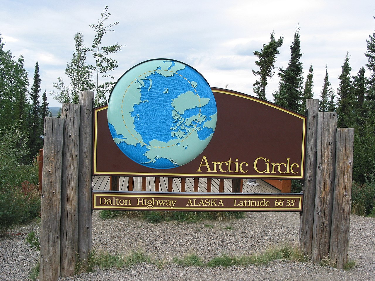
| विवरण | This is a road sign marking the location of the Arctic Circle along the Dalton Highway. | ||
| दिनांक | |||
| स्रोत | Originally from en.wikipedia; description page was here. | ||
| लेखक | Ixfd64 | ||
| अनुमति (इस चित्र का पुनः उपयोग करना) |
|
| वस्तु स्थान | | यह और अन्य आसपास की छवियों यहां पर देखें: ओपन स्ट्रीट मैप |
|---|
चित्र का इतिहास
फ़ाइलका पुराना अवतरण देखने के लिये दिनांक/समय पर क्लिक करें।
| दिनांक/समय | थंबनेल | आकार | सदस्य | प्रतिक्रिया | |
|---|---|---|---|---|---|
| वर्तमान | 16:58, 29 जुलाई 2007 | | 2,272 × 1,704 (1.38 MB) | Gridge | {{Information |Description=This is a road sign marking the location of the Arctic Circle along the Dalton Highway. |Source=Originally from [http://en.wikipedia.org en.wikipedia]; description page is/was [http://en.wikipedia.org/wiki/Image:Arctic_Circle_si |
चित्र का उपयोग
निम्नलिखित पन्ने इस चित्र से जुडते हैं :
चित्र का वैश्विक उपयोग
इस चित्र का उपयोग इन दूसरे विकियों में किया जाता है:
- ast.wikipedia.org पर उपयोग
- bg.wikipedia.org पर उपयोग
- bjn.wikipedia.org पर उपयोग
- ckb.wikipedia.org पर उपयोग
- de.wikipedia.org पर उपयोग
- en.wikipedia.org पर उपयोग
- en.wikivoyage.org पर उपयोग
- eo.wikipedia.org पर उपयोग
- es.wikipedia.org पर उपयोग
- fa.wikipedia.org पर उपयोग
- fi.wikipedia.org पर उपयोग
- gv.wikipedia.org पर उपयोग
- id.wikipedia.org पर उपयोग
- ilo.wikipedia.org पर उपयोग
- it.wikipedia.org पर उपयोग
- ja.wikipedia.org पर उपयोग
- ko.wikipedia.org पर उपयोग
- no.wikipedia.org पर उपयोग
- pl.wikipedia.org पर उपयोग
- pt.wikipedia.org पर उपयोग
- ro.wikipedia.org पर उपयोग
- ru.wikipedia.org पर उपयोग
- sw.wikipedia.org पर उपयोग
- ta.wikipedia.org पर उपयोग
- te.wikipedia.org पर उपयोग
- uk.wikipedia.org पर उपयोग
- vi.wikipedia.org पर उपयोग