चित्र:Australia Northern Territory location map.svg

मूल चित्र (SVG फ़ाइल, साधारणतः 1,134 × 1,577 पिक्सेल, फ़ाइल का आकार: 2.29 MB)
|
|
यह फ़ाइल विकिमेडिया कॉमन्स से है। वहाँ पर इसका विवरण पृष्ठ निम्नोक्त है। कॉमन्स मुक्त लाइसेंसों के अंतर्गत उपलब्ध मीडिया फ़ाइलों का संग्रह है। आप भी इसमें मदद कर सकते हैं। |
सारांश
| विवरण |
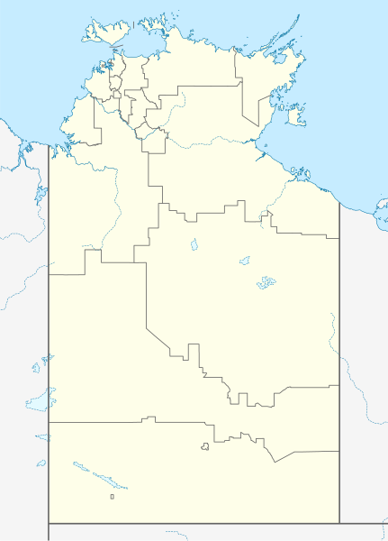
Quadratische Plattkarte, N-S-Streckung 105 %. Geographische Begrenzung der Karte:
Equirectangular projection, N/S stretching 105 %. Geographic limits of the map:
|
|
| दिनांक | ||
| स्रोत |
अपना कार्य, using
|
|
| लेखक | NordNordWest | |
| अनुमति (इस चित्र का पुनः उपयोग करना) |
इस फ़ाइल को क्रिएटिव कॉमन्स श्रेय-समानसांझा 3.0 जर्मनी लाइसेंस के अंतर्गत लाइसेंस किया गया है।
 इस फ़ाइल को क्रिएटिव कॉमन्स श्रेय-समानसांझा 3.0 जर्मनी लाइसेंस के अंतर्गत लाइसेंस किया गया है।
|
|
| दूसरे संस्करण | Derivative works of this file: Australia Northern Territory with LGA names.svg |


|
This map has been made or improved in the German Kartenwerkstatt (Map Lab). You can propose maps to improve as well.
|
चित्र का इतिहास
फ़ाइलका पुराना अवतरण देखने के लिये दिनांक/समय पर क्लिक करें।
| दिनांक/समय | थंबनेल | आकार | सदस्य | प्रतिक्रिया | |
|---|---|---|---|---|---|
| वर्तमान | 10:50, 7 फ़रवरी 2023 | | 1,134 × 1,577 (2.29 MB) | The2016 | Updated to current LGA boundaries. |
| 22:07, 4 अप्रैल 2010 |  | 1,134 × 1,577 (533 KB) | Chumwa | Reverted to version as of 16:37, 18 December 2009 | |
| 21:56, 4 अप्रैल 2010 |  | 1,134 × 1,577 (493 KB) | Roke~commonswiki | local government low salience, dont appear on general use maps | |
| 16:37, 18 दिसम्बर 2009 |  | 1,134 × 1,577 (533 KB) | NordNordWest | =={{int:filedesc}}== {{Information |Description= {{de|Positionskarte des Northern Territory, Australien}} Quadratische Plattkarte, N-S-Streckung 105 %. Geographische Begrenzung der Karte: * N: 10.6° S * S: 26 |
चित्र का उपयोग
निम्नलिखित पन्ने इस चित्र से जुडते हैं :
चित्र का वैश्विक उपयोग
इस चित्र का उपयोग इन दूसरे विकियों में किया जाता है:
- af.wikipedia.org पर उपयोग
- als.wikipedia.org पर उपयोग
- azb.wikipedia.org पर उपयोग
- ba.wikipedia.org पर उपयोग
- bg.wikipedia.org पर उपयोग
- ceb.wikipedia.org पर उपयोग
- cs.wikipedia.org पर उपयोग
- de.wikipedia.org पर उपयोग
- Darwin (Northern Territory)
- Alice Springs
- Yulara
- Hermannsburg (Australien)
- Yuendumu
- Daly Waters
- Tennant Creek
- Darwin International Airport
- Katherine
- Jabiru (Australien)
- Palmerston (Northern Territory)
- Milikapiti
- Pine Creek (Northern Territory)
- Mataranka
- Vorlage:Positionskarte Australien Northern Territory
- Elliott (Australien)
- Timber Creek
- Wikipedia:Kartenwerkstatt/Positionskarten/Australien und Ozeanien
- Erldunda
- Papunya
- Kintore (Northern Territory)
- Adelaide River (Ortschaft)
- Haasts Bluff
- Yirrkala
- Ramingining
- Milingimbi
- Barrow Creek
- RAAF Base Tindal
- RAAF Base Darwin
- Kaltukatjara
- Benutzer:Rr2000/Vorlagentest Ort in Australien
- Connellan Airport
- Corella Creek
- Cape Crawford
- Borroloola
- Humpty Doo
- Batchelor (Australien)
- Kelly-West-Krater
- Maningrida
- Daly River (Stadt)
- Curtin Springs
इस चित्र के वैश्विक उपयोग की अधिक जानकारी देखें।