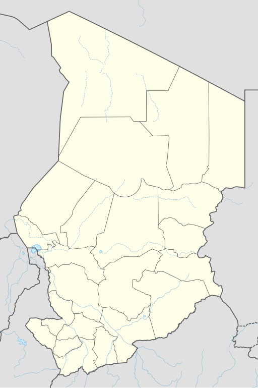
चित्र:Chad adm location map.svg

मूल चित्र (SVG फ़ाइल, साधारणतः 899 × 1,349 पिक्सेल, फ़ाइल का आकार: 215 KB)
|
|
यह फ़ाइल विकिमेडिया कॉमन्स से है। वहाँ पर इसका विवरण पृष्ठ निम्नोक्त है। कॉमन्स मुक्त लाइसेंसों के अंतर्गत उपलब्ध मीडिया फ़ाइलों का संग्रह है। आप भी इसमें मदद कर सकते हैं। |
सारांश
| विवरण |
Deutsch: Positionskarte von Tschad
English: Location map of Chad
|
||||||||||||
| दिनांक | |||||||||||||
| स्रोत |
Own work using: |
||||||||||||
| लेखक | NordNordWest | ||||||||||||

|
This map has been made or improved in the German Kartenwerkstatt (Map Lab). You can propose maps to improve as well.
|
लाइसेंस
Usage of this file with:

explanatory notes: Legally binding is only the full legalcode. For a free usage I recommend to respect the following licence conditions:
1. Provide my name as given above: NordNordWest,
2. a copy of, or the URI for, the applicable license: https://creativecommons.org/licenses/by-sa/3.0/de/legalcode,
3. the title of the work,
4. in the case of an adaptation, a credit identifying the use of the work in the adaptation.
This license and the rights granted hereunder will terminate automatically upon any breach by you of the terms of this license. Any of the above conditions can be waived if you get permission from the copyright holder. If you have questions or wish differing conditions, please contact me through nnwest or my discussion page ![]() t-online.de
t-online.de
- आप खुलकर:
- बाँट सकते हैं – रचना की प्रतिलिपि बना सकते हैं, बाँँट सकते हैं और संचारित कर सकते हैं
- रीमिक्स कर सकते हैं – कार्य को अनुकूलित कर सकते हैं
- निम्नलिखित शर्तों के अंतर्गत:
- श्रेय – यह अनिवार्य है कि आप यथोचित श्रेय प्रदान करें, लाइसेंस की कड़ी प्रदान करें, और अगर कोई बदलाव हुए हों तो उन्हें इंगित करें। आप ऐसा किसी भी उचित तरीके से कर सकते हैं, लेकिन किसी भी तरह उससे यह नहीं संकेत नहीं किया जाना चाहिए कि लाइसेंसधारी द्वारा आपको अथवा आपके इस प्रयोग का समर्थन किया जा रहा हो।
- समानसांझा – अगर आप इस रचना में कोई बदलाव करते हैं या इसपर आधारित कुछ रचित करते हैं तो आप अपने योगदान को सिर्फ इसी या इसके सामान किसी लाइसेंस के अंतर्गत बाँट सकते हैं।

चित्र का इतिहास
फ़ाइलका पुराना अवतरण देखने के लिये दिनांक/समय पर क्लिक करें।
| दिनांक/समय | थंबनेल | आकार | सदस्य | प्रतिक्रिया | |
|---|---|---|---|---|---|
| वर्तमान | 19:46, 7 दिसम्बर 2021 | | 899 × 1,349 (215 KB) | NordNordWest | corr |
| 20:48, 30 जून 2015 |  | 899 × 1,349 (228 KB) | NordNordWest | == {{int:filedesc}} == {{Information |Description= {{de|1=Positionskarte von Tschad}} {{en|1=Location map of Chad}} {{Location map series N |stretching=103,7149 |top=23.95 |bottom=6.95 |left=12.85 |right=24.6 }} |Source={{Own using}} * {{f|Chad locatio... |
चित्र का उपयोग
निम्नलिखित पन्ने इस चित्र से जुडते हैं :
- अती, चाड
- अबतूयूर
- अबेशे
- अम जरस
- अम तीमान
- कुमरा, चाड
- कोरो तोरो
- गोज़ बेईदा
- ग्वेनी-फादा क्रेटर
- दोबा, चाड
- पाला, चाड
- फादा, चाड
- फाया-लारझ़ो
- बरदाई
- बिल्तीन, चाड
- बीतकीन
- बोंगोर
- बोल, चाड
- मओ, चाड
- मासेन्या
- मास्साकोरी
- मूनदू
- मूसोरो
- मोंगो, चाड
- लाई, चाड
- सारह
- Module:Location map/data/Chad
- Module:Location map/data/Chad/doc
चित्र का वैश्विक उपयोग
इस चित्र का उपयोग इन दूसरे विकियों में किया जाता है:
- af.wikipedia.org पर उपयोग
- an.wikipedia.org पर उपयोग
- ast.wikipedia.org पर उपयोग
- azb.wikipedia.org पर उपयोग
- bcl.wikipedia.org पर उपयोग
- bn.wikipedia.org पर उपयोग
- ca.wikipedia.org पर उपयोग
- de.wikipedia.org पर उपयोग
- N’Djamena
- Abéché
- Sarh
- Doba (Tschad)
- Moundou
- Ati (Stadt)
- Mongo (Tschad)
- Ouara (Tschad)
- Mdaga
- Kélo
- Faya-Largeau
- Vorlage:Positionskarte Tschad
- Bol (Tschad)
- Fada (Tschad)
- Aorounga
- Benutzer Diskussion:SpesBona/Archiv
- Bardaï
- Massenya
- Benutzer:Zumthie/Kreise
- Massaguet
- Flughafen N’Djamena
- Léré (Tschad)
- Bongor
इस चित्र के वैश्विक उपयोग की अधिक जानकारी देखें।