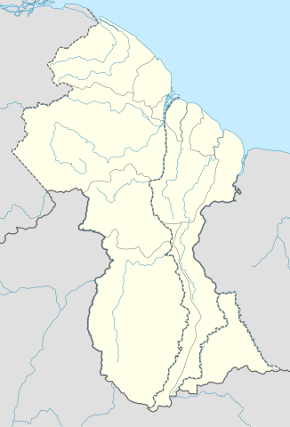
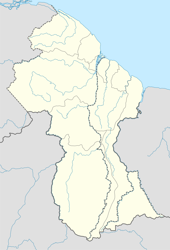
चित्र:Guyana location map.svg

पूर्वावलोकन PNG का आकार SVG फ़ाइल: 407 × 599 पिक्सेल दूसरे रेसोल्यूशन्स: 163 × 240 पिक्सेल | 326 × 480 पिक्सेल | 522 × 768 पिक्सेल | 695 × 1,024 पिक्सेल | 1,391 × 2,048 पिक्सेल | 1,252 × 1,843 पिक्सेल।
मूल चित्र (SVG फ़ाइल, साधारणतः 1,252 × 1,843 पिक्सेल, फ़ाइल का आकार: 293 KB)
|
|
यह फ़ाइल विकिमेडिया कॉमन्स से है। वहाँ पर इसका विवरण पृष्ठ निम्नोक्त है। कॉमन्स मुक्त लाइसेंसों के अंतर्गत उपलब्ध मीडिया फ़ाइलों का संग्रह है। आप भी इसमें मदद कर सकते हैं। |
सारांश
| विवरण |
Deutsch: Positionskarte von Guyana
Quadratische Plattkarte. Geographische Begrenzung der Karte:
English: Location map of Guyana
Equirectangular projection. Geographic limits of the map:
|
| दिनांक | 02.12.2008 |
| स्रोत |
own work, using
|
| लेखक | NordNordWest |
| दूसरे संस्करण | Derivative works of this file: Guyana relief location map.jpg |

|
This map has been made or improved in the German Kartenwerkstatt (Map Lab). You can propose maps to improve as well.
|
लाइसेंस
मैं, इस कार्य का/की कॉपीराइट धारक, इसे निम्न लाइसेंसों के अंतर्गत प्रकाशित करता/करती हूँ:

|
इस दस्तावेज़ को Free Software Foundation द्वारा प्रकाशित GNU मुक्त प्रलेख लाइसेंस के संस्करण 1.2 या नए (बिना किसी अपरिवर्तनीय अनुभागों और अगले या पिछले आवरण के टेक्स्ट के) के अंतर्गत प्रतिलिपि बनाने, बाँटने और/या बदलने की अनुमति प्रदान की जाती है। इस लाइसेंस की एक प्रतिलिपि GNU मुक्त प्रलेख लाइसेंस नामक अनुभाग में शामिल है। |
इस फ़ाइल को क्रिएटिव कॉमन्स श्रेय-समानसांझा 3.0 अनरिपोर्टेड लाइसेंस के अंतर्गत लाइसेंस किया गया है।
- आप खुलकर:
- बाँट सकते हैं – रचना की प्रतिलिपि बना सकते हैं, बाँँट सकते हैं और संचारित कर सकते हैं
- रीमिक्स कर सकते हैं – कार्य को अनुकूलित कर सकते हैं
- निम्नलिखित शर्तों के अंतर्गत:
- श्रेय – यह अनिवार्य है कि आप यथोचित श्रेय प्रदान करें, लाइसेंस की कड़ी प्रदान करें, और अगर कोई बदलाव हुए हों तो उन्हें इंगित करें। आप ऐसा किसी भी उचित तरीके से कर सकते हैं, लेकिन किसी भी तरह उससे यह नहीं संकेत नहीं किया जाना चाहिए कि लाइसेंसधारी द्वारा आपको अथवा आपके इस प्रयोग का समर्थन किया जा रहा हो।
- समानसांझा – अगर आप इस रचना में कोई बदलाव करते हैं या इसपर आधारित कुछ रचित करते हैं तो आप अपने योगदान को सिर्फ इसी या इसके सामान किसी लाइसेंस के अंतर्गत बाँट सकते हैं।
आप अपना पसंद का लाइसेंस चुन सकते हैं।
चित्र का इतिहास
फ़ाइलका पुराना अवतरण देखने के लिये दिनांक/समय पर क्लिक करें।
| दिनांक/समय | थंबनेल | आकार | सदस्य | प्रतिक्रिया | |
|---|---|---|---|---|---|
| वर्तमान | 17:03, 15 सितंबर 2017 | | 1,252 × 1,843 (293 KB) | Milenioscuro | corrected disputed border with Venezuela |
| 04:09, 28 सितंबर 2013 |  | 1,252 × 1,843 (342 KB) | Unukalhai | Reverted to version as of 04:34, 16 October 2012 | |
| 12:36, 24 फ़रवरी 2013 |  | 1,252 × 1,843 (341 KB) | Wester | Reverted to version as of 19:53, 2 December 2008 | |
| 04:34, 16 अक्टूबर 2012 |  | 1,252 × 1,843 (342 KB) | Unukalhai | Including disputed area by Venezuela, the same way wich the surinamese one appears in the map. http://treaties.un.org/pages/showDetails.aspx?objid=080000028012b96f | |
| 19:53, 2 दिसम्बर 2008 |  | 1,252 × 1,843 (341 KB) | NordNordWest | {{Information |Description= {{de|Positionskarte von Guyana}} Quadratische Plattkarte. Geographische Begrenzung der Karte: * N: 8.7° N * S: 0.9° N * W: 61.6° W * O: 56.3° W {{en|Location map of Guyana}} Equirectangular pro |
चित्र का उपयोग
निम्नलिखित पन्ने इस चित्र से जुडते हैं :
चित्र का वैश्विक उपयोग
इस चित्र का उपयोग इन दूसरे विकियों में किया जाता है:
- af.wikipedia.org पर उपयोग
- an.wikipedia.org पर उपयोग
- ar.wikipedia.org पर उपयोग
- ast.wikipedia.org पर उपयोग
- az.wikipedia.org पर उपयोग
- ba.wikipedia.org पर उपयोग
- be-tarask.wikipedia.org पर उपयोग
- be.wikipedia.org पर उपयोग
- bg.wikipedia.org पर उपयोग
- bn.wikipedia.org पर उपयोग
- bs.wikipedia.org पर उपयोग
- ceb.wikipedia.org पर उपयोग
इस चित्र के वैश्विक उपयोग की अधिक जानकारी देखें।