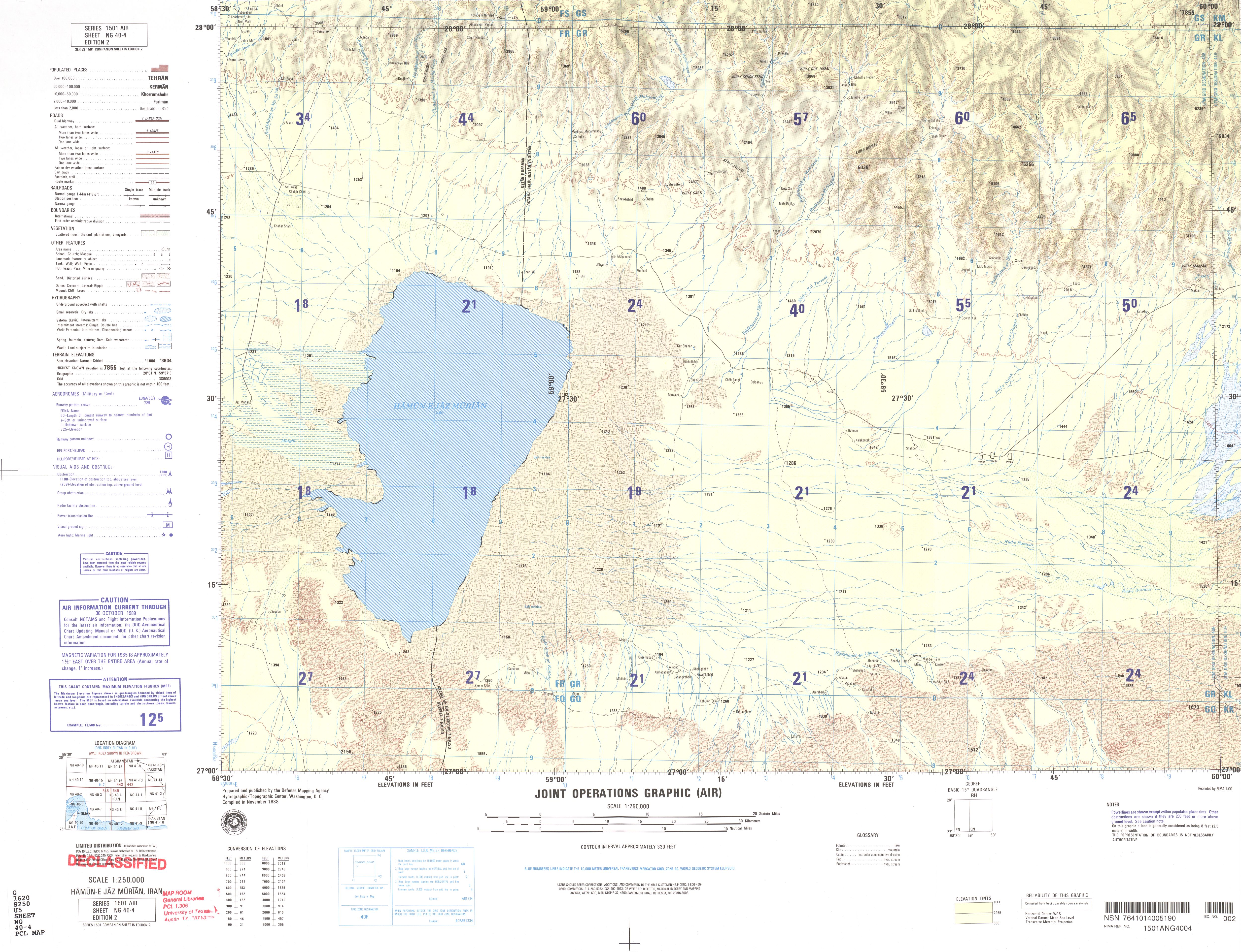
चित्र:NG 40-4 Humun-e Jaz Murian, Iran.jpg
इस पूर्वावलोकन का आकार: 781 × 599 पिक्सेल। दूसरे रेसोल्यूशन्स: 313 × 240 पिक्सेल | 625 × 480 पिक्सेल | 1,001 × 768 पिक्सेल | 1,280 × 983 पिक्सेल | 2,560 × 1,965 पिक्सेल | 5,000 × 3,838 पिक्सेल।
मूल चित्र ((5,000 × 3,838 पिक्सेल, फ़ाइल का आकार: 3.93 MB, MIME प्रकार: image/jpeg))
|
|
यह फ़ाइल विकिमेडिया कॉमन्स से है। वहाँ पर इसका विवरण पृष्ठ निम्नोक्त है। कॉमन्स मुक्त लाइसेंसों के अंतर्गत उपलब्ध मीडिया फ़ाइलों का संग्रह है। आप भी इसमें मदद कर सकते हैं। |
सारांश
| विवरण |
English: Humun-e Jaz Murian, Iran map (NG 40-4)
فارسی: نقشهٔ هامون جازموریان |
| दिनांक | Compiled in November 1988 |
| स्रोत | http://legacy.lib.utexas.edu/maps/jog/iran/ |
| लेखक | U.S. Defense Mapping Agency |
लाइसेंस
This image is a work of the United States National Geospatial-Intelligence Agency or one of its predecessor agencies. As a work of the U.S. federal government, the image is in the public domain.
|
 |
चित्र का इतिहास
फ़ाइलका पुराना अवतरण देखने के लिये दिनांक/समय पर क्लिक करें।
| दिनांक/समय | थंबनेल | आकार | सदस्य | प्रतिक्रिया | |
|---|---|---|---|---|---|
| वर्तमान | 08:12, 20 अक्टूबर 2019 | | 5,000 × 3,838 (3.93 MB) | Hanooz | Transferred from http://legacy.lib.utexas.edu/maps/jog/iran/txu-oclc-58750648-ng40-4.jpg |
चित्र का उपयोग
निम्नलिखित पन्ने इस चित्र से जुडते हैं :
चित्र का वैश्विक उपयोग
इस चित्र का उपयोग इन दूसरे विकियों में किया जाता है:
- en.wikipedia.org पर उपयोग