चित्र:Thailand adm location map.svg

मूल चित्र (SVG फ़ाइल, साधारणतः 1,051 × 1,849 पिक्सेल, फ़ाइल का आकार: 662 KB)
|
|
यह फ़ाइल विकिमेडिया कॉमन्स से है। वहाँ पर इसका विवरण पृष्ठ निम्नोक्त है। कॉमन्स मुक्त लाइसेंसों के अंतर्गत उपलब्ध मीडिया फ़ाइलों का संग्रह है। आप भी इसमें मदद कर सकते हैं। |
सारांश
| विवरण |
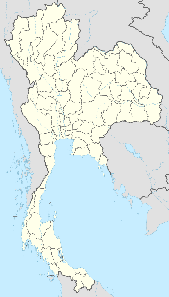
Deutsch: Positionskarte von Thailand
English: Location map of Thailand
|
||||||||||||
| दिनांक | |||||||||||||
| स्रोत |
Own work using:
|
||||||||||||
| लेखक | NordNordWest | ||||||||||||
| SVG genesis | इस वेक्टर चित्र को Adobe Illustrator की मदद से बनाया गया था।
|
||||||||||||

लाइसेंस
Usage of this file with:

explanatory notes: Legally binding is only the full legalcode. For a free usage I recommend to respect the following licence conditions:
1. Provide my name as given above: NordNordWest,
2. a copy of, or the URI for, the applicable license: https://creativecommons.org/licenses/by-sa/3.0/de/legalcode,
3. the title of the work,
4. in the case of an adaptation, a credit identifying the use of the work in the adaptation.
This license and the rights granted hereunder will terminate automatically upon any breach by you of the terms of this license. Any of the above conditions can be waived if you get permission from the copyright holder. If you have questions or wish differing conditions, please contact me through nnwest or my discussion page ![]() t-online.de
t-online.de
- आप खुलकर:
- बाँट सकते हैं – रचना की प्रतिलिपि बना सकते हैं, बाँँट सकते हैं और संचारित कर सकते हैं
- रीमिक्स कर सकते हैं – कार्य को अनुकूलित कर सकते हैं
- निम्नलिखित शर्तों के अंतर्गत:
- श्रेय – यह अनिवार्य है कि आप यथोचित श्रेय प्रदान करें, लाइसेंस की कड़ी प्रदान करें, और अगर कोई बदलाव हुए हों तो उन्हें इंगित करें। आप ऐसा किसी भी उचित तरीके से कर सकते हैं, लेकिन किसी भी तरह उससे यह नहीं संकेत नहीं किया जाना चाहिए कि लाइसेंसधारी द्वारा आपको अथवा आपके इस प्रयोग का समर्थन किया जा रहा हो।
- समानसांझा – अगर आप इस रचना में कोई बदलाव करते हैं या इसपर आधारित कुछ रचित करते हैं तो आप अपने योगदान को सिर्फ इसी या इसके सामान किसी लाइसेंस के अंतर्गत बाँट सकते हैं।

चित्र का इतिहास
फ़ाइलका पुराना अवतरण देखने के लिये दिनांक/समय पर क्लिक करें।
| दिनांक/समय | थंबनेल | आकार | सदस्य | प्रतिक्रिया | |
|---|---|---|---|---|---|
| वर्तमान | 18:37, 1 दिसम्बर 2014 | | 1,051 × 1,849 (662 KB) | NordNordWest | == {{int:filedesc}} == {{Information |Description= {{de|1=Positionskarte von Thailand}} {{en|1=Location map of Thailand}} {{Location map series N |stretching=103 |top=20.6 |bottom=5.4 |left=97.1 |right=106.0 }} |Source={{Own using}} * United States Nat... |
चित्र का उपयोग
निम्नलिखित पन्ने इस चित्र से जुडते हैं :
- ओप लुआंग राष्ट्रीय उद्यान
- क्रा थलसंधि
- खाओ फ्रा विहान राष्ट्रीय उद्यान
- खुन खान राष्ट्रीय उद्यान
- खुन नान राष्ट्रीय उद्यान
- खुन फावो राष्ट्रीय उद्यान
- ख्लोन्ग्ग लन राष्ट्रीय उद्यान
- चिआंग माई
- टाट मोक राष्ट्रीय उद्यान
- तकसीन महारत राष्ट्रीय उद्यान
- ता फ्राया राष्ट्रीय उद्यान
- थम प्ला-नामटोक फा सुआ राष्ट्रीय उद्यान
- थाईलैण्ड के प्रान्त
- थाम लुअंग गुफा बचाव अभियान
- दोई खुन तन राष्ट्रीय उद्यान
- दोई फा होम पोक राष्ट्रीय उद्यान
- दोई फु ख राष्ट्रीय उद्यान
- दोई फु नांग राष्ट्रीय उद्यान
- दोई लुआंग राष्ट्रीय उद्यान
- नमटॉक चैट ट्रैंकन राष्ट्रीय उद्यान
- नमटोक मॅई सुरिन राष्ट्रीय उद्यान
- नाम नाओ राष्ट्रीय उद्यान
- पटाया
- पैंग सिडा राष्ट्रीय उद्यान
- फा तैम राष्ट्रीय उद्यान
- फु चोंग-ना योई राष्ट्रीय उद्यान
- फु रुआ राष्ट्रीय उद्यान
- फु वियांग राष्ट्रीय उद्यान
- फु संग राष्ट्रीय उद्यान
- फु हिन रोंग क्ला राष्ट्रीय उद्यान
- मॅई चारिम राष्ट्रीय उद्यान
- मॅई पिंग राष्ट्रीय उद्यान
- मॅई वोंग राष्ट्रीय उद्यान
- वियांग कोसाई राष्ट्रीय उद्यान
- सालाविन राष्ट्रीय उद्यान
- सिमिलन द्वीपसमूह
- सी नान राष्ट्रीय उद्यान
- सी लन्ना राष्ट्रीय उद्यान
- सोंगख्ला
- Module:Location map/data/Thailand
- Module:Location map/data/Thailand/doc
चित्र का वैश्विक उपयोग
इस चित्र का उपयोग इन दूसरे विकियों में किया जाता है:
- af.wikipedia.org पर उपयोग
- ast.wikipedia.org पर उपयोग
- Bangkok
- Golfu de Tailandia
- Bang Na Expressway
- Ismu de Kra
- Ríu Chao Phraya
- Surat Thani
- Rayong
- Gran Palaciu de Bangkok
- Palaciu Chitralada
- Módulu:Mapa de llocalización/datos/Tailandia
- Módulu:Mapa de llocalización/datos/Tailandia/usu
- Royal City Avenue
- Aeropuertu Internacional Suvarnabhumi
- Aeropuertu de Surat Thani
- Puertu de Bangkok
- GMM Grammy
- azb.wikipedia.org पर उपयोग
- ban.wikipedia.org पर उपयोग
- Piala Thomas miwah Uber 2022
- Taman Nasional Hat Chao Mai
- Taman Nasional Khao Kho
- Taman Nasional Phu Soi Dao
- Taman Nasional Huai Nam Dang
- Taman Nasional Khun Chae
- Taman Nasional Mae Wang
- Taman Nasional Namtok Mae Surin
- Taman Nasional Nam Nao
- Taman Nasional Pang Sida
- Taman Nasional Pa Hin Ngam
- Taman Nasional Phu Chong–Na Yoi
- Taman Nasional Phu Toei
- Taman Nasional Salawin
- Taman Nasional Si Satchanalai
- Taman Nasional Doi Phu Nang
- Taman Nasional Doi Luang
- Taman Nasional Doi Khun Tan
- Taman Nasional Doi Pha Hom Pok
- Taman Nasional Kaeng Tana
इस चित्र के वैश्विक उपयोग की अधिक जानकारी देखें।