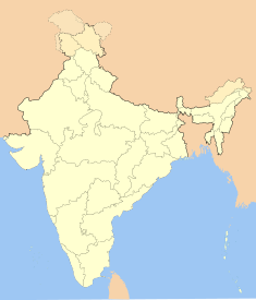
Proposed
? سرینگر Srinagar Jammu and Kashmir • India
Nickname: Paradise on Earth
View of Srinagar and Dal Lake
Coordinates :34°05′N 74°47′E / 34.09°N 74.79°E / 34.09; 74.79
Time zone IST (UTC+5:30 )
Area Elevation
Climate Precipitation Temperature ETh (Köppen )
Distance(s) Delhi Mumbai
(land ) (land )
Region Kashmir
District(s) Srinagar
Population Density Metro Sex ratio Literacy rate
8,94,940[ 1] (2001 ) [ 1]
Language(s) Kashmiri , Urdu
Mayor Ghulam Mustafa Bhat [ 2]
Settled
3rd century BCE
Codes Pincode Telephone UN/LOCODE Vehicle
Website : www.srinagar.nic.in
↑ अ आ "Population in the age group 0-6 and literates by sex—urban agglomeration/town" (PDF) . Census of India 2001 भारत सरकार . 27 May 2002 . अभिगमन तिथि 2007-04-14 .↑ "Bhat re-elected Mayor" . द ट्रिब्यून 30 March 2006 . अभिगमन तिथि 2007-04-14 .
निर्देशांक : 34°05′N 74°47′E / 34.09°N 74.79°E / 34.09; 74.79
Current


